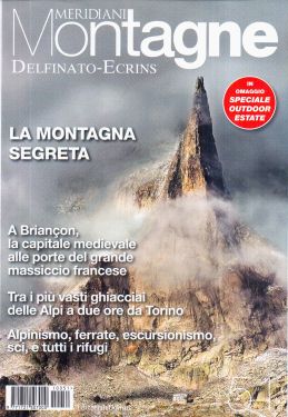
Massif des Ecrins, Oisans, Champsaur 1:75.000


Tourist-road map of the Ecrins Massif, Oisans and Champsaur region.

Spesa minima per la spedizione gratuita: €50.00
NOTA: Valido solo per spedizioni in Italia
Tourist-road map of the Ecrins, Oisans and Champsaur massif region, with indication of the main paths and GRs, as well as 5 extracts at 1:25,000 scale of the most important areas for hiking: the Taillefer, le Gargas, Vieux Chaillol, le Lauvitel and le Sirac. Les Deux-Alpes, Valbonnais, Super-Dévoluy, Orcières-Merlette, Embrun, Gap.
| Product code | IGN121 |
|---|---|
| Author | IGN |
| Publisher | IGN |
| Series | TOP75 |
| Scale | 1:75.000 |
| Languages Maps | English, French, German |
| Year | 2015 |
| States | France |
Weight
Spedizione con corriere in max 48 ore.
Qualora l'imballo evidenzi danni / manomissioni NON accettare la merce


