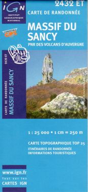
Chaîne des Puys 1:25.000
€12.00
In stock
Product code
2531ET
Autore:
IGN
Collana:
TOP25
Editore:
IGN


Hiking map of the Chaîne des Puys in the Parc Naturél Regional des Volcans d'Auvergne.

Spesa minima per la spedizione gratuita: €50.00
NOTA: Valido solo per spedizioni in Italia
Hiking map of Volvic, Pontgibaud, Puy de Dôme, Clermont Ferrand northern sector of the Parc Naturél Regional des Volcans d'Auvergne with kilometer grid.
| Product code | 2531ET |
|---|---|
| Author | IGN |
| Publisher | IGN |
| Series | TOP25 |
| Scale | 1:25.000 |
| Languages Maps | English, French |
| Year | 2007 |
| States | France |
Write Your Own Review
Weight
0.12 (Kg)
Spedizione con corriere in max 48 ore.
Qualora l'imballo evidenzi danni / manomissioni NON accettare la merce


