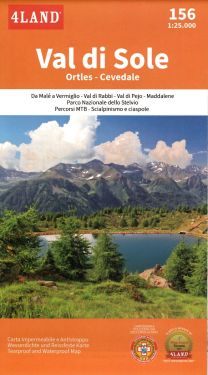
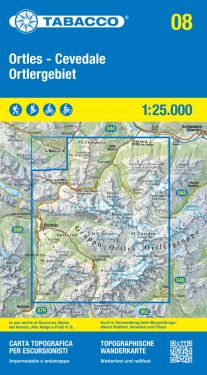
Alta Via dell'Ortles 1:25.000
€9.90
In stock
Product code
CM079
Autore:
Tappeiner
Collana:
CARTA ESCURSIONISTICA TAPPEINER
Editore:
TAPPEINER


Map of the Ortles Alta Via.

Spesa minima per la spedizione gratuita: €50.00
NOTA: Valido solo per spedizioni in Italia
Map of the Ortles Alta Via, with altimetric graphs and useful information on refuges and support points, as well as a panoramic representation on the back. Stelvio, Solda, Bormio, Cancano, Stelvio Pass.
| Product code | CM079 |
|---|---|
| Author | Tappeiner |
| Publisher | TAPPEINER |
| Series | CARTA ESCURSIONISTICA TAPPEINER |
| Scale | 1:25.000 |
| Languages Maps | Italian, English, German |
| Year | 2019 |
| States | Italy |
| Regions Italy | Lombardy, Trentino Alto Adige |
Write Your Own Review
Weight
0.1 (Kg)
Spedizione con corriere in max 48 ore.
Qualora l'imballo evidenzi danni / manomissioni NON accettare la merce


