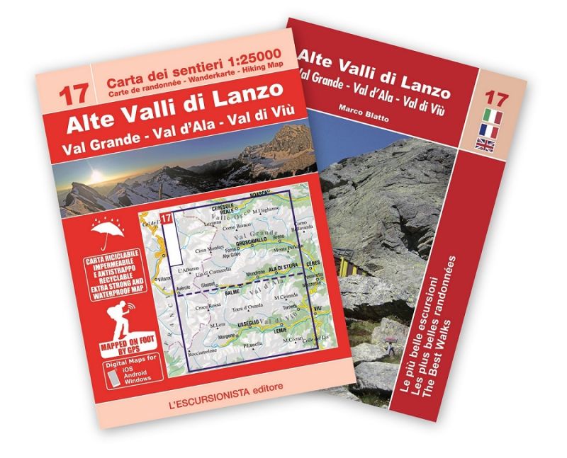
17 - Alte Valli di Lanzo, Val Grande, Val d'Ala, Val di Viù carta dei sentieri 1:25.000 ANTISTRAPPO 2023 con guida
€12.00
In stock
Product code
ESC17
Autore:
Black B., Blatto M.
Collana:
CARTE DELL'ESCURSIONISTA
Editore:
L'ESCURSIONISTA EDITORE


Map of the paths of the Alte Valli di Lanzo with hiking guide.

Spesa minima per la spedizione gratuita: €50.00
NOTA: Valido solo per spedizioni in Italia
With the series "the most beautiful excursions" a new series of practical and handy booklets is inaugurated which will accompany the 1:25,000 scale maps of the Piedmontese territory. The paper is printed front and back on recyclable, waterproof and tear-proof support and all the paths shown (marked and unmarked) have been recorded with GPS satellite equipment. It shows the entire route of the Tour della Bessanese on the Italian-French sides. The cartographic drawing, rocks, gravels and glaciers was created on recent aerial photographs and includes, with homogeneous graphics, also the territory beyond the border. In a convenient 2-pocket case, at the same purchase price as the paper alone, you will also find the color guide with the description of 9 excursions selected among the most beautiful in the area, with historical-cultural insights and color illustrations, in Italian, French and English languages. 1 Ovarda Lakes 2 Colle Autaret 3 Rifugio Cibrario and Lago della Rossa 4 Ring of Passo delle Mangioire 5 Colle Chalanson Superiore 6 Passo dell'Ometto 7 The ring of Unghiasse lakes 8 Bivouac Ferreri and Rifugio Daviso 9 Passo delle Lose
| Product code | ESC17 |
|---|---|
| Author | Black B., Blatto M. |
| Publisher | L'ESCURSIONISTA EDITORE |
| Series | CARTE DELL'ESCURSIONISTA |
| Scale | 1:25.000 |
| Languages Guidebook | Italian, English, French |
| Languages Maps | Italian, English, French, German |
| Year | 2023 |
| States | Italy |
| Regions Italy | Piedmont |
Write Your Own Review
Weight
0.2 (Kg)
Spedizione con corriere in max 48 ore.
Qualora l'imballo evidenzi danni / manomissioni NON accettare la merce


