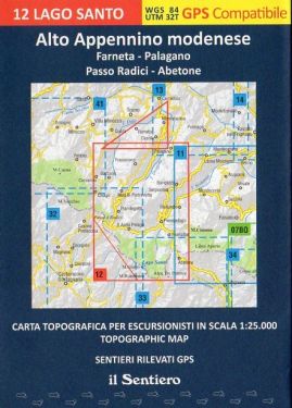
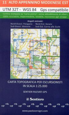
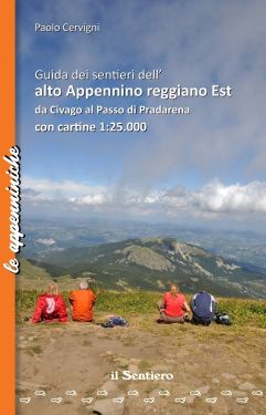
Alto Appennino Reggiano Est F.21 1:25.000
Hiking map of the Upper Reggio Emilia Apennines and Monte Cusna.

Spesa minima per la spedizione gratuita: €50.00
NOTA: Valido solo per spedizioni in Italia
Hiking map of the High Apennines of Reggio Emilia, from Cervarezza to the north, up to Monte Prado to the south, including the entire area of Monte Cusna; printed on ecological, waterproof and resistant support, with kilometer grid and guide to a circular trek between Castelnovo ne' Monti and the high ridge attached. With list of all the paths marked by the CAI and other associations. Pietra di Bismantova, Monteduro, Castelnovo ne' Monti, Carpineti, Cerredolo, Toano, Farneta, Cervarezza, Sologno, Cinquecerri, Villa Minozzo, Quara, Morsiano, Monte Penna, Ligonchio, Ospitaletto, Monte Cusna, Civago.
| Product code | CM400 |
|---|---|
| Author | Cervigni P. |
| Publisher | IL SENTIERO |
| Scale | 1:25.000 |
| Languages Guidebook | Italian |
| Languages Maps | Italian, English |
| Year | 2022 |
| States | Italy |
| Regions Italy | Emilia Romagna, Tuscany |
Weight
Spedizione con corriere in max 48 ore.
Qualora l'imballo evidenzi danni / manomissioni NON accettare la merce


