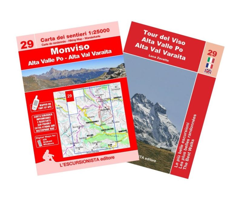
29 - Monviso, Alta Valle Po, Alta Val Varaita carta dei sentieri 1:25.000 con guida


Hiking map of Monviso, Alta Valle Po and Alta Val Varaita with guide to the most beautiful excursions and the Tour del Viso in 3 stages.

Spesa minima per la spedizione gratuita: €50.00
NOTA: Valido solo per spedizioni in Italia
Hiking map of Monviso, Alta Valle Po and Alta Val Varaita with guide to the most beautiful excursions and the Giro del Viso in 3 stages. With the series "the most beautiful excursions" a new series of practical and handy booklets is inaugurated which will accompany the 1:25,000 scale maps of the Piedmont and Ligurian territory. The paper is printed front and back on recyclable, waterproof and tear-proof support and all the paths shown (marked and unmarked) have been recorded with GPS satellite equipment. The cartographic drawing, with rocks, gravels and glaciers, was created on recent aerial photographs. In a convenient 2-pocket case, at the same purchase price as the paper alone, you will also find the color guide with the description of 9 excursions selected among the most beautiful in the area, with historical-cultural insights and color illustrations, in Italian, French and English languages.
Tour of the Viso in 3 stages
1 Viso Mozzo
2 Rifugio Giacoletti
3 Colle della Gianna
4 Ring of the Path Lanzetti
5 Tour of the Lakes
6 The valleys of Soustra and Vallanta
7 Monte Bellino
8 The Costa Sturana mine
9 The villages of Bellino (Blins) < br />
| Product code | ESC29 |
|---|---|
| Author | Zavatta L. |
| Publisher | L'ESCURSIONISTA EDITORE |
| Series | CARTE DELL'ESCURSIONISTA |
| Scale | 1:25.000 |
| Languages Guidebook | Italian, English, French |
| Languages Maps | Italian, English, French, German |
| Year | 2023 |
| States | France, Italy |
| Regions Italy | Piedmont |
Weight
Spedizione con corriere in max 48 ore.
Qualora l'imballo evidenzi danni / manomissioni NON accettare la merce


